Reliance Model economic township, project area is strategically surrounded by agricultural zones in different directions. To the North-East, it is buffered by the development plan areas of Delhi’s L-Zone. In the South-East,
it is bordered by the Gurgaon-Manesar Urban Complex. To the North-West, it is adjacent to the Jhajjar Development Plan area, and in the South, it is buffered by the Farrukhnagar Development Plan area.
MET is conveniently located in close proximity to various cities and towns. It is approximately 5 km away from Farukhnagar, 14 km from Jhajjar,
17 km from Bahadurgarh, 30 km from Gurgaon city in Haryana, and 18 km from Najafgarh in Delhi. The area’s potential for planned development has been acknowledged, leading to its designation as a controlled area.
This allows the government to prepare a separate development plan specifically for the MET project area. Furthermore, the government has classified the area as an Urban Area, granting it access to various urban facilities and amenities. The MET project area falls within the influence zone of the Delhi Mumbai Industrial Corridor (DMIC) Project. The Government of Haryana has recommended it as a node of the DMIC, highlighting its significance. Additionally, the project is connected to the western Dedicated Freight Corridor (DFC),further enhancing its connectivity and accessibility.
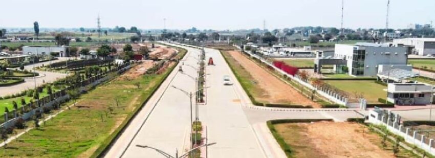
Reliance Model economic township, is well connected to the major urban centers in the north Indian region and beyond through a network of national and state highways, expressways, and rail corridors. The KMP Expressway, currently under construction and also known as the Western Peripheral Expressway, bypasses Delhi and offers connectivity to key National Highways such as NH-2, NH-8, NH-71, and NH-10 in the NCR. Additionally, there are two KMP road interchanges near the MET project area. The proposed development of State Highway (SH 15A) along the western part of the project area aims to upgrade it to a National Highway. Moreover, two major district roads (MDRs) with four-lane median divided roads run through the project area – MDR 123 linking Jhajjar in the northwest to Najafgarh in West Delhi, and MDR 136 connecting Bahadurgarh in the northeast to Gurgaon in the southeast.
Reliance Model economic township, situated near Farrukhnagar railway station, is connected to Garhi Harsaru station on the main Northern Railway line originating from Delhi. A 2 km rail link from Farrukhnagar will be extended. The plan also includes upgrading Garhi Harsaru station to facilitate the movement of cargo trains from the PFT towards Rewari and the ports in western India. Farukhnagar town holds historical significance as it was one of the locations where prisoners captured during the 1857 mutiny were held by the British. The Delhi-Farukhnagar rail link, commissioned in 1873, is one of the oldest in the country. There are six pairs of trains that operate daily between Farukhnagar, Delhi, and other cities in North India.The Indira Gandhi International Airport (IGI) in Delhi is approximately 50km away from the MET via SH-15A & NH-8. However, once the under-construction Northern Peripheral Road/Dwarka Expressway is completed, this distance will be reduced to about 30km.